AMMAN — Despite its small size compared to other sites, the Madaba Map is one of the most visited tourist attractions in Jordan as it is considered the oldest cartographic depiction of the Middle East.
اضافة اعلان
The mosaic map was discovered under the floor of the 18th century Greek Orthodox Church of St George, located in the center of the town of Madaba, 35km southwest of Amman.
Almost every itinerary of any trip to Jordan must include a visit to this church, making it a world-famous destination.
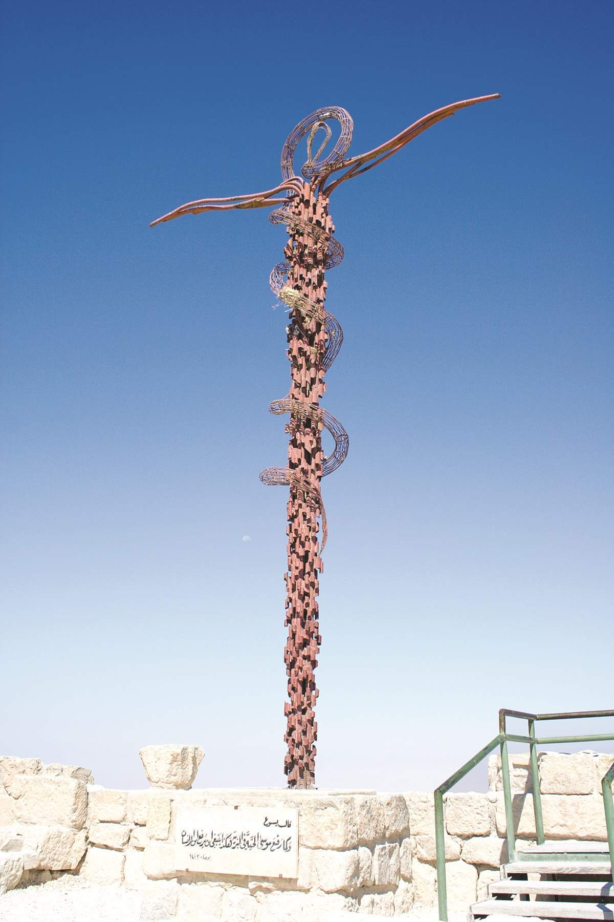
 The Staff of Moses at Mount Nebo. (Photos: Flickr)
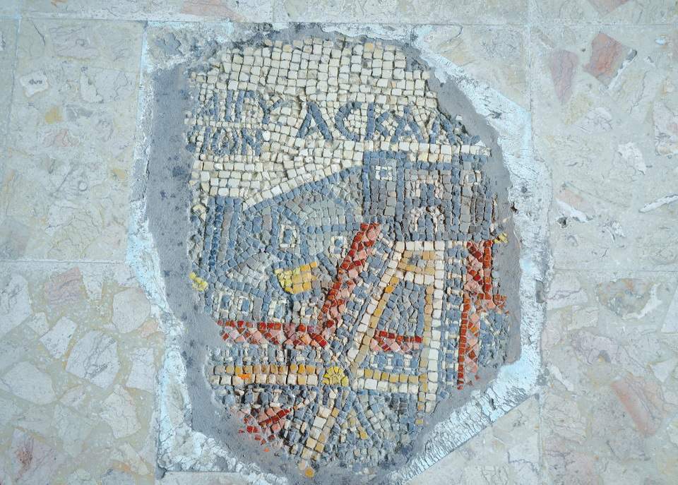
Measuring 20sq.m, the map shows parts of Lebanon in the north as well as the Nile Delta in the south, and spans the Mediterranean to the west all the way to the Arabian Desert to the east.
The map has more than 150 place names of biblical sites that were mentioned in both old and new testaments, making some archaeologists believe that the map was created to follow the footsteps of persons mentioned in the Bible.
The church dates back to the 6th century, when Madaba was a thriving Byzantine Christian city and later abandoned after several earthquakes over centuries.
The church was rebuilt by Christians who emigrated from Karak to Madaba during the Ottoman period in the late 18th century.
According to some historians, the Ottomans allowed for the building of churches only on top of ancient churches that had previously existed on a site. This led to the discovery of the map.
In the 1890’s, the librarian of the Jerusalem patriarchate, Kleopas Koikylides, visited Madaba to inspect the archaeological find, and in the early 1900’s the first intensive studies were undertaken of the map by the German Society for the Exploration of Palestine.
All of the place names on the map are oriented west to east, which means the makers of the map considered Jerusalem as the center of the map. They used 2 million naturally colored tesserae (stones) including red, black, green, and brown on a white background.
The most detailed element in the map is Jerusalem, where visitors can see the wall, the Via De La Rosa, the Cardo Maximus (main street), David’s Tower, Damascus Gate, Jaffa Gate, the Church of the Holy Sepulchre, and many other landmarks.
The map depicts the Dead Sea with two boats and their sailors piling a white substance on board, which appears to be a process of collecting salt.
The Jordan River, the main tributary of the Dead Sea, appears with fish swimming in it with one fish depicted turning back from the Dead Sea due to its extreme salinity.
 (Photos: Flickr)
To the east of the river, there is a lion chasing a gazelle in the wilderness of Jordan, which is “Bethany Beyond the Jordan”, where Jesus Christ was baptized by John the Baptist.
It also depicts two of Jordan’s main valleys, Zared (Wadi Al Hasa) and Arnon (Wadi Al Mujib).
It is worth noting that the second oldest map dates back to the 16th century (10 centuries after the Madaba map was made) and was made of papyrus.
The church is open to visitors every day of the week except during prayers times, which are usually held early in the morning.
The church has an information center and an external hall where historical briefings are given.
A visit to the church is highly recommended for visitors heading to Petra through the biblical Kings Highway.
Read more Travel


